|
Historically and traditionally the body of
water between Arabia and Iran has been identified as the Persian Gulf.
In the 1960s some Arab countries began to refer to the waterway as the
“Arabian Gulf,” which until the end of the 19th century had been used
to refer to what is now known as the Red Sea.
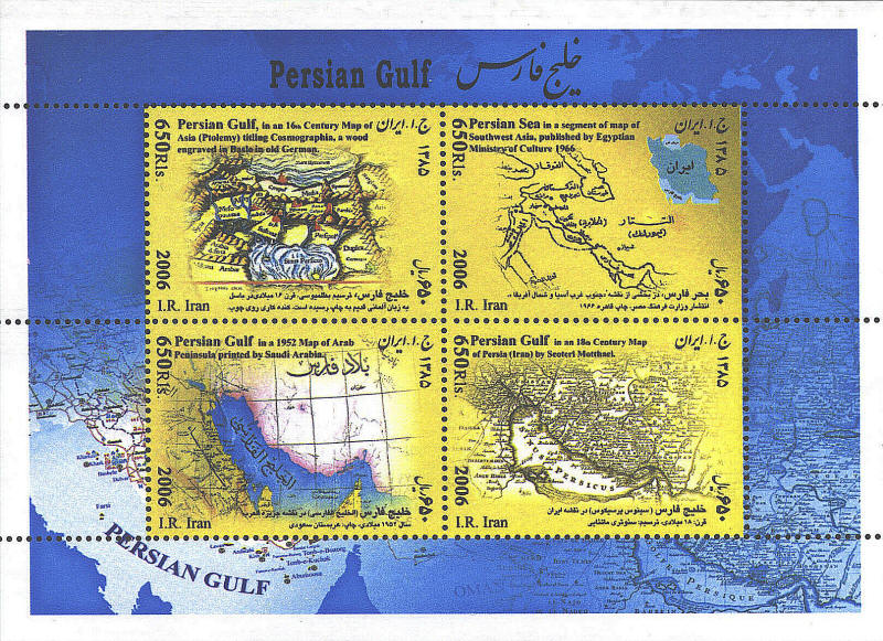
The souvenir sheet issued in 2006 by Iran has four maps
depicting the Persian Gulf. The map in the upper left corner is a
woodcut Ptolemaic map from the Basel in the 16th century.
The map in the lower right corner can be
identified as Opulentissimi Regni Persiae — juxta suas Provincias
recentissima et accuratissima Designatio Studio et fumtibus Matthai
Seutteri, S. Caes. et reg. Cathol. Maj. Georg. Aug. published in
Augsburg in 1720 by Matthaeus Seutter.
In background of the souvenir sheet two maps
across the bottom of the sheet are discernable, a third can be seen in
the upper right corner. These maps are not identified, although they
appear to be modern.

 
 |
