|
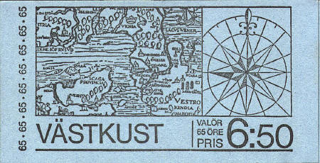
The map on the cover of
the Swedish
booklet is a portion of the 1539 map of Olaus Magnus. It covers an area
north from the tip of Denmark to the east and west.
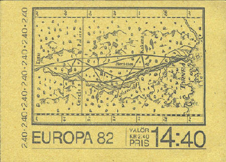
The map below shows the
map made by Pierre-Louis Moreau de Maupertuis in 1737 which determined
that the shape of the earth is an oblate-spheroid.
The map on the booklet
cover issued in 1991 shows the world on an interrupted
sinusoidal projection.

Great Britain
In 1995 Great Britain
issued four booklets with sea charts showing portions of the English
coastline.
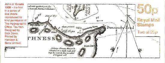
John o'Groats ~ 1800

Land's End ~ 1808


 |