|
In 1498 John Cabot sailed off the coast of New England and claimed
what is now New Jersey for England. In 1664 Lord John Berkeley and Sir
George Carteret, two of the Proprietors of the Province of Carolina,
received the lands between the Delaware and Hudson Rivers from the
Duke of York, to whom they had been granted by King Charles II. In
1674 Berkeley sold the western half of the Province of Nove
Caesaria or New Jersey, while Carteret kept the eastern half.
The first map of New Jersey to call it by that name is
A Mapp of New Jarsey by John Seller, an English cartographer.
It was published in his Atlas Maritimus in 1675. While the map
on the stamp shows the various natural features, it does not include
any of the place names from the original. The seal of George Carteret
appears on both the map and the stamp.

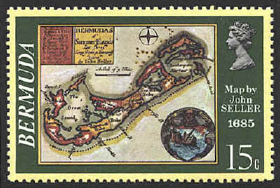
The
map, Bermudas al' Summer Islands Lat 32d 25m Long from p Tenneriff
322d 0m by John Seller, was also published in the Atlas
Maritimus.


|
