|
The
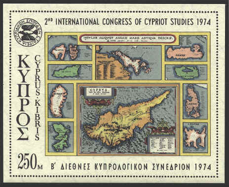
design for the sheet below was selected from the 1584 edition of
Ortelius’ Theatrum Orbis Terrarum, in which the map of Cyprus was
based on the new map in the 1573 edition, without much of the minor
physical and cultural detail. This map is more accurate than either
those of Mercator, 1590, or Bleau, 1635. The Aegean islands in the
panels bordering the map of Cyprus show various degrees of knowledge
and accuracy.

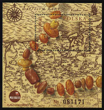
The map on
the souvenir sheet below is a portion of the map Polonić Lithućnićq
Descriptio from the 1595 edition of Theatrum Orbis Terrarum.


 |
