|
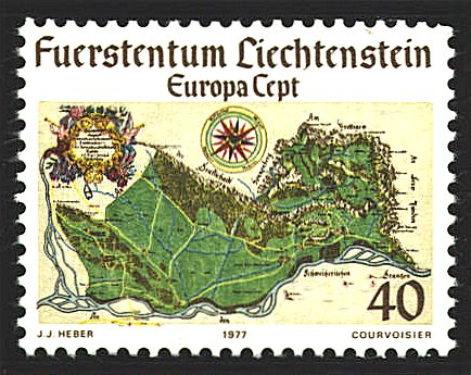
The map, Preliminary
Draft of the Present Principality of Liechtenstein or The
Former Count of Vaduz and the Free Lordship of Schellenberg, was
drawn in 1721 by J. J. Heber (1666-1727) an engineer (surveyor) and
geometrician of the city of Lindau. The courses of the principal roads
and streams reflect the accuracy of Heber’s surveys. Elevations are
indicated by gradations of color. The long dimension of Liechtenstein
runs north-south rather than east-west as on the stamp; the compass
rose which has the Latin names for the four directions is off by
approximately 55°
The map was drawn two years after the establishment of
the principality, probably commissioned by Anton Florian who was
instrumental in uniting the Lordship of Schellenberg and the county of
Vaduz, which had been purchased by Prince Johann Adam Andreas of the
house of Liechtenstein in 1699 and 1712 respectively.

After
being lost for many years the map was discovered by Prince Johann II
who ruled from 1858 until 1929. The map is now in Vaduz Castle.


 |
