|
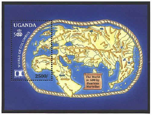
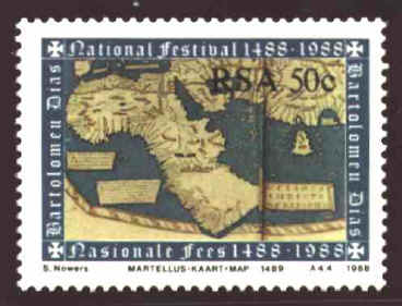
Henricus Martellus Germanus
was a German cartographer who worked with Francesco Roselli in
Florence near the end of the fifteenth century. He published his world
map in about 1490. Some believe that Martin Behaim relied on the large
world map by Martellus when he constructed his Erdapfell in
1492, on the eve of Columbusí first voyage to the west.

Martellusí map follows in the tradition of the Ptolemaic geographical
system. Few if any new surveys had been done in recent years, so the
map shows the world as it was visualized by the educated classes at
the end of the fifteenth century.


 |
