|
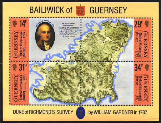
In 1787
William Gardner made a survey of the Bailiwick of Guernsey for defense
purposes, when the French were threatening to invade the Channel
Islands. Gardner received 2 pence per acre that they surveyed, and
they located every dwelling on the island. It was the first accurate
map of the Bailiwick, and was carried out by the authority of the Duke
of Richmond, whose portrait appears in the upper left stamp of the
souvenir sheet. In Gardnerís day the Clos du Valle was separated from
the main part of the island by a channel, shown in the map at the
north end. Later the two islands were connected.

The
sheet was issued for the Bicentenary of the survey.


 |
