|

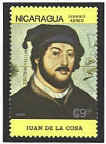
Juan de
la Cosa was the owner of the Santa Maria, Columbus’ flag ship. He
accompanied Columbus on his first two voyages to the western
hemisphere (1492, 1494). De la Cosa drew the map in 1500 (some
say 1502) and signed it beneath the image of Saint Christopher on the
west end of the map. He continued his own investigation of the coast
of the Americas until 1504.

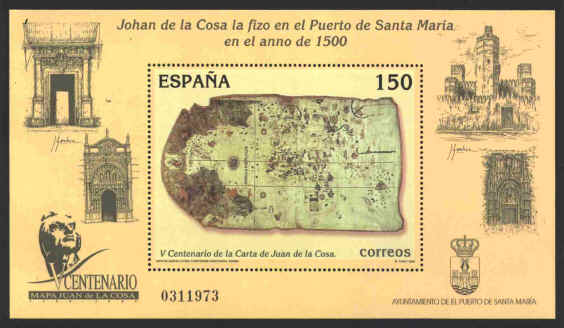
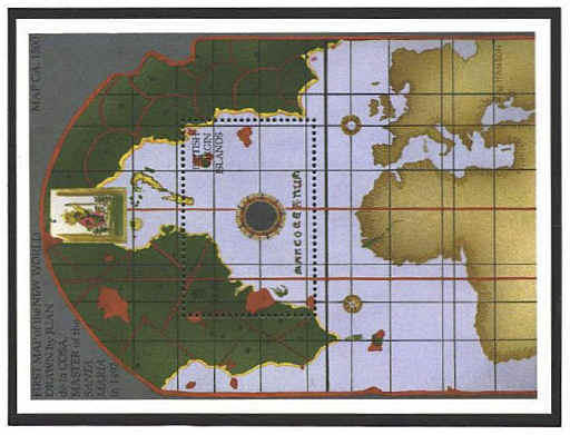
The map
consists of two panels. On one side is the world of Europe, Africa and
Asia. On the other the new world found by Columbus between 1492 and
1500. The two panels are drawn to different scales, with the new world
on the larger scale. Rhumb lines, compass roses and a scale give the
feel of a portolan chart.

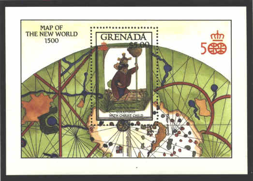
The title under the stamp on the souvenir sheet is
“Columbus with Christ Child.” The image is actually St. Christopher
with the Christ Child. In Greek "Christopher" means “Christ bearer.”
Originally Reprebus, he took the name "Christopher" at his baptism
around 306. He is the patron saint of travelers.

A variety of detail appears
on the map. For example, four English banners in the north, and the
inscription Mar descubierta por los Ingleses, recall the
voyages of John Cabot (1496-1498); an inscription on the Coast of
Brazil states, "this cape was discovered in the year 1499 by
Vincenti," meaning Vincenti Yañez Pinzón, whose expedition landed
there.


 |
