|


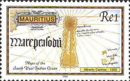
The stamp from
Mauritius shows an area of Cantino's map in the southwest Indian
Ocean, centered on Madagascar. Mauritius, one of the Mascarene
Islands,lies approximately 600 miles due east of Madagascar on
latitude 20°S. Both Madagascar and Mauritius are shown in
conventionalized shapes.


 |
