|
In 1775 the
Spanish sent an expedition from San Blas near the entrance to the Gulf
of California to explore the northwest coastline to latitude 65°N as
an expression of their right to the western coasts of North America.
Don Juan Francisco
de la Bodega y Quadra and his pilot, Antonio Maurelle, who were a part
of the expedition got as far north as latitude 58° before they were
forced to turn back. In 1779 Bodega and Maurelle sailed from San Blas
and proceeded to Prince William Sound, where again they had to turn
back because of sickness.
Bodega became
superintendent of the marine department at San Blas, and in 1791 he
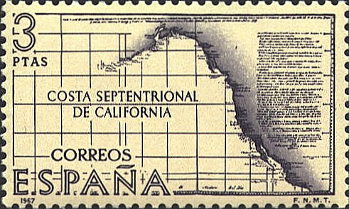
composed the map Carta General de quanto asta hoy se ha descubierto
y examinado por los Españoles en la Costa Septemtional (sic) de
California (A General Map of how far the Spaniards have now
discovered and explored in the northern coast of California). On
this map he plotted the western coastline from Acapulco to Isla de
Serantes.
The map on which
the stamp is based is Bodega’s manuscript map which is in the
Department of Hydrography at Madrid, Spain. The stamp was issued to
honor the explorers of the Northwest coast of North America.


 |
