|
In 1793 Tuki Tahua, a Maori chief, and his
companion, Ngahuruhuru, were captured at Panaaki Island in the Cavalli
group and taken to Norfolk Island to teach the convicts how to dress
flax. While he was living on Norfolk Island Tuki Tahua drew two maps
for Governor King, one in chalk on the floor of a room, and the other
on paper.

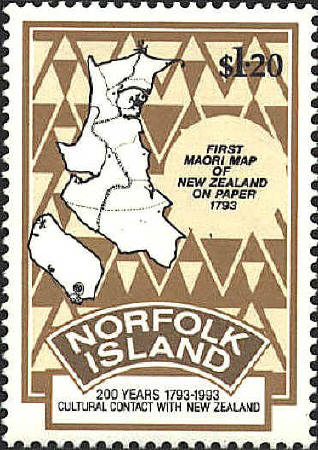
Tuki Tahua’s map on paper
is reproduced on the Norfolk Island stamp. The Northern part of North
Island is drawn larger than the rest of the North Island and the South
Island. This is probably a reflection of familiarity, since Tuki Tahua
knew the Northern part of North Island. The South Island is rotated
90° to the west, possibly because the paper was not large enough to
draw it correctly.
The tree-like symbol at Cape Reinga at the North
end of the North Island may be the traditional tree from which the
souls of the dead depart. The double dashed line from South to North
represents the road traveled by the souls to Cape Reinga. The symbols
on the North-east coast of the North Island are carved houses. The
dotted line from East to West marks a tribal boundary. The symbols at
the South-west of the South Island represent Murihiku, “the tail of
the fish.” The symbols on the West coast in the South-eastern interior
may represent sources of nephrite and serpentine.
Tuki Tahua was familiar with European maps, and was
able to locate England, New Zealand, Norfolk Island and Port Jackson
on them. His map measures 37 by 49 centimeters. The map is preserved
in the Cartographic Collection of the Alexander Turnbull Library in
Wellington, New Zealand.
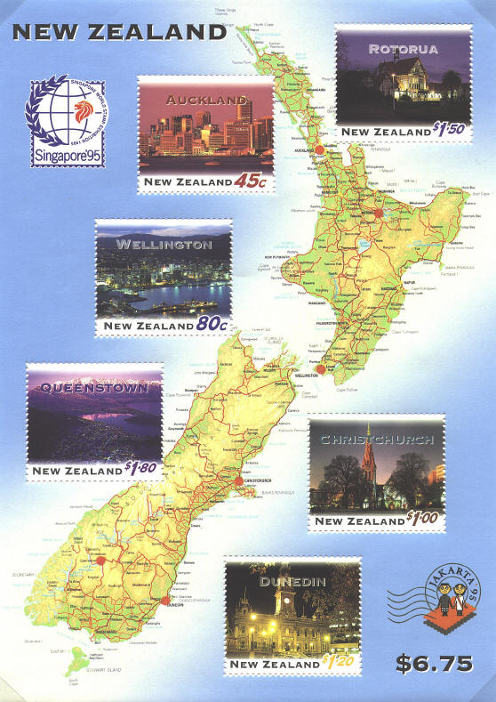
Contemporary Map

 |
