|
Canada
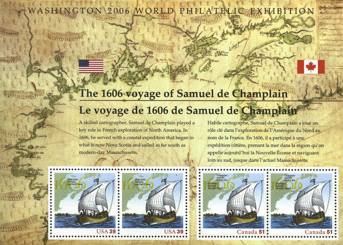
In 1603 Samuel de Champlain was sent to New France to map the areas
discovered by Jacques Cartier. The map, Description des costs, pts.,
rades, illes de la Nouvelle France (Description of the Coasts, Ports
and Islands of New France), was drawn on vellum personally by
Champlain. It provided the first complete delineation of the territory
of New France from Cape Sable to Cape Cod. It shows Port Royal,
Frenchman’s Bay, the St. John, St. Croix, Penobscot and Kennebec
rivers, and many islands. In 1915 it was bequeathed to the Library of
Congress by Henry Harrisse.


 |